











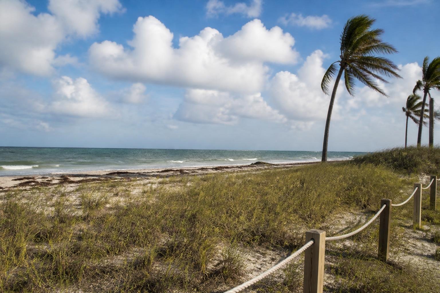
King tide flooding could affect South Florida’s coast around Friday’s high tide, expected at about 10 p.m.
Drier air is moving into the region as remnants of Hurricane Isaias leave Florida. Friday’s forecast calls for sunshine and a high near 90 degrees, though passing showers remain possible. Rain is expected overnight into Saturday morning, with scattered thunderstorms possible.
Isaias made landfall near Destin in the Florida Panhandle at about 9:30 p.m. Eastern time Friday, with maximum sustained winds of 105 mph. A NOAA gauge at Panama City Beach measured a storm surge of 5.6 feet, while a station near Santa Rosa Sound recorded a 116 mph wind gust.
South Florida’s rain chances are expected to ease Sunday and remain lower through the early and middle part of next week.




Please note! Comments are published by readers. The opinions expressed may not reflect the position of the editorial team. NYCT is not responsible for the content of readers' opinions and asks authors to observe moral standards, not to incite national or racial hatred, and to avoid rudeness. Think before you speak. You are responsible for your words! By publishing an opinion, you agree to the rules! If this request is ignored, NYCT reserves the right to deprive the user of the ability to leave comments.